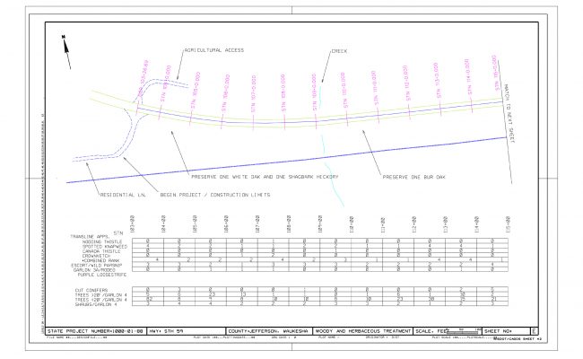
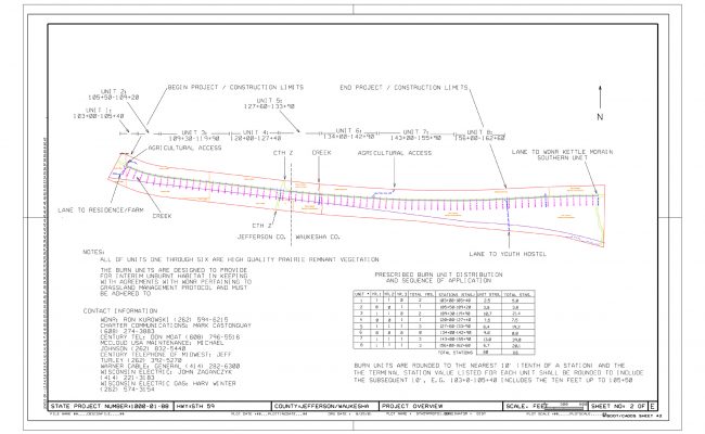
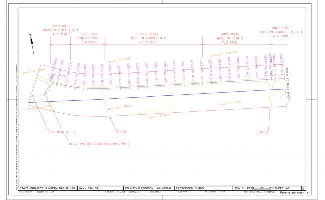
Management actions were quantified and mapped in a highway rights-of-way prairie that included the thinning of native trees and shrubs and the introduction of prescribed burns in addition to invasive species management. In keeping with Department of Transportation protocol, stations – increments of 100 feet – were used to map these occurrences.


