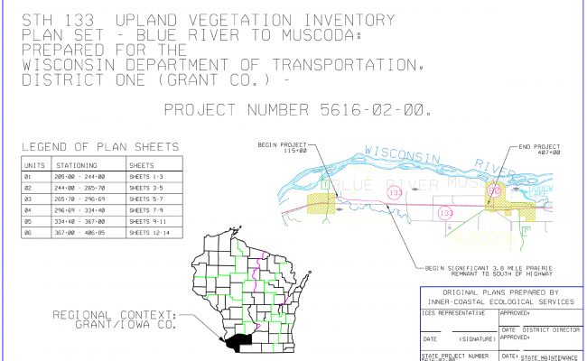
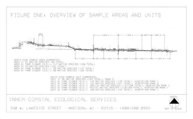
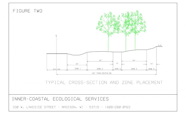
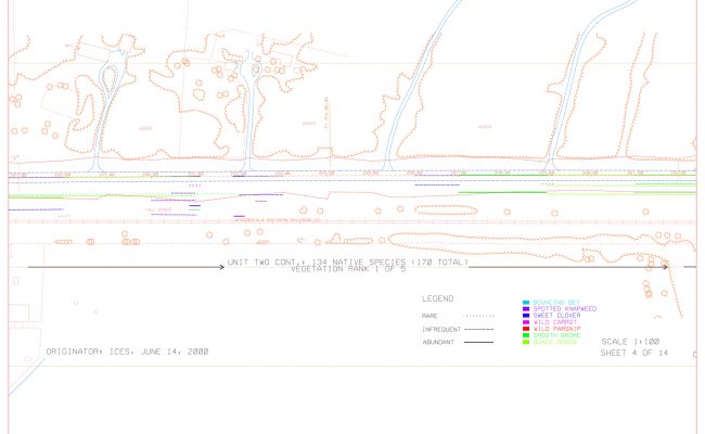
ICES mapped the distribution and abundance of five invasive exotic species within the context of a high quality prairie remnant occurring between a highway and parallel railroad track. Using a Digital Terrain Model derived from aerial orthophotography, representations on these species’ occurrences were mapped within five zones of this rights-of-way using varied line wieght, style and color in a Computer Aided Drafting (CAD) program as demonstrated in this slide show. This project was the first attempt by ICES as a consultant to WisDOT to map the distribution of invasive species and quantify total abundance for each species.
Systematic field notes were taken to allow the tabulation of exotic species distribution and abundance Subsequent refinement of these techniques lead to the creation of Plans Specifications and Estimates for the restoration of this and three other prairie remnants. In that capacity ICES served as the General Contractor, determining mangement needs, quantities, and estimated cost and then overseeing the awarded contractors.


