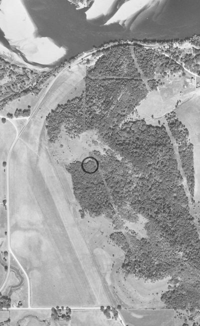
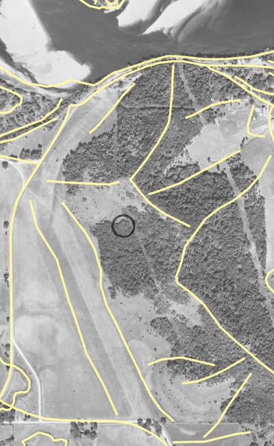
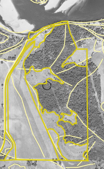
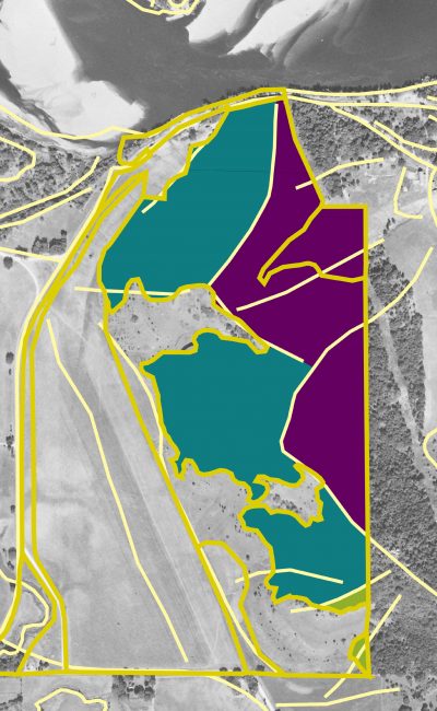
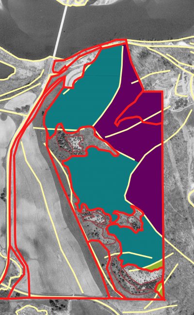
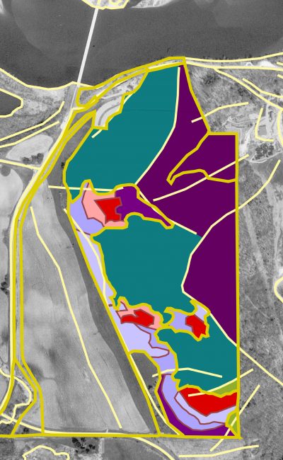
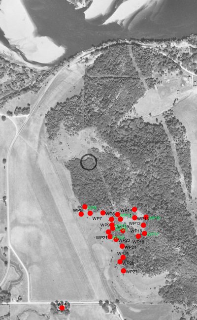
In this Geographic Information Systems (GIS) application, the historic extent of dry bluff prairies were digitized from older aerial photography and this extent then overlain on current orthophotography. This required strecthing the non-geospatial historic aerial to line up with that of the orthophotograh to commonly register the two. Break lines, dramatic changes in topography such as ridgelines were also derived from the spatial data associated with the orthophotograph and overlaid in historically and currently wooded areas to designate woodland and savanna restoration and management units.

